

Bridging the Gap Between Data, Robotics & Understanding
Transforming raw data into actionable insights, mapping geographic landscapes, and making robotics education accessible for all
Making Complex Technology Accessible & Actionable
At Maschinenmensch, we transform massive volumes of robotic data into clear, usable insights. We design high-resolution maps, provide data-driven solutions, and create educational content that makes robotics & AI understandable for businesses, researchers, and the public
Key TechnologiesΒ
- π Data Interpretation β Converting raw robotic data into insights.
- π Geospatial Mapping β Turning drone & robotic scans into detailed maps.
- π Education & Outreach β Making robotics accessible for students & professionals.
- π€ Speaker Series β Bringing AI, robotics, and GIS knowledge to the public.
From Data Overload to Actionable Insights
Robotic systems generate vast amounts of data. Our team specializes in filtering, analyzing, and transforming this information into practical intelligence for businesses, researchers, and urban planners. By revealing hidden patterns, trends, and inefficiencies, we help organizations optimize decisions and streamline operations
Key Applications
- Β π Pattern Recognition & AI Analysis β Detecting insights from robotic sensors.
- π Operational Optimization β Reducing inefficiencies through real-time data.
- π€ Autonomous System Monitoring β Enhancing robot performance with analytics.
- π Predictive Intelligence β Using AI to foresee trends and issues.
Transforming the World with High-Precision Mapping
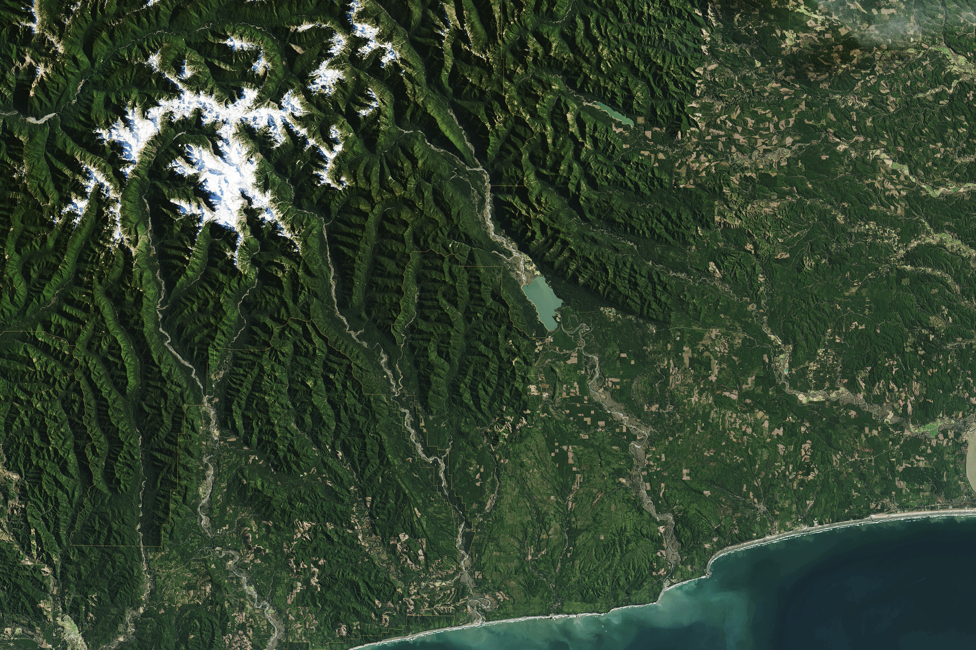
We leverage GIS expertise and drone data collection to create detailed, accurate geographic maps. Whether for urban planning, environmental research, or logistics, our mapping services provide precise, real-time spatial awareness
Industries Benefiting
- π Urban Planning β Designing smarter cities with real-world data.
- πΏ Environmental Monitoring β Assessing land changes and ecosystems.
- π¦ Logistics & Infrastructure β Optimizing routes and resource management.
- π₯ Media & Journalism β Bringing accurate geographic visuals to storytelling.
Making Robotics Understandable for Everyone
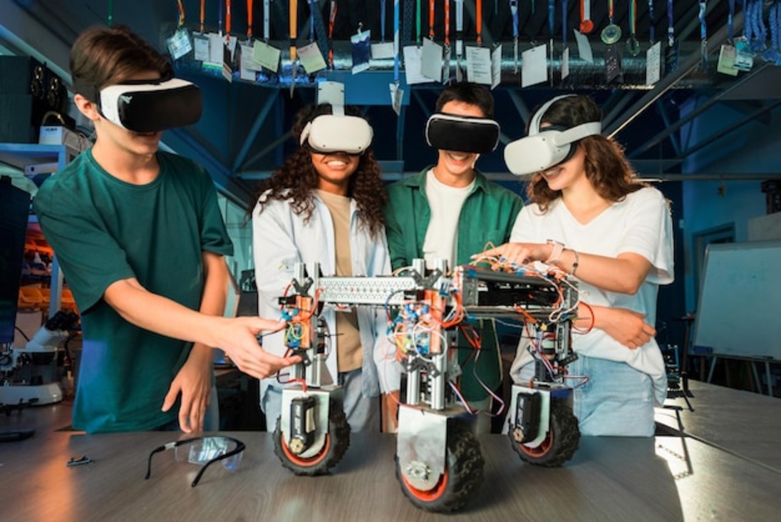
We believe that robotics shouldnβt be an exclusive domain for expertsβit should be accessible and engaging for all. Our educational programs break down complex AI and automation concepts into relatable content for students, professionals, and the general public
Educational Offerings
Introduction to Robotics β Exploring AI and automation basics.
Drones & GIS for Beginners β Learning the future of aerial mapping.
STEM Workshops β Interactive lessons for students of all ages.
Public Tech Talks β Engaging discussions on emerging technologies.

Engaging Talks on the Future of AI, Robotics & Mapping
Our Speaker Series is designed to make robotics, AI, and geospatial science understandable for all. Our speakers, including experienced roboticists, GIS specialists, and AI experts, bring real-world insights in an engaging and interactive format
Key Events
- π€ Tech Conferences β Keynotes on AI & robotics trends.
- π« Educational Seminars β Simplified STEM talks for schools.
- π Industry Workshops β Deep dives into AI, drones, and automation.
- π° Public Talks on Tech & Society β Exploring the ethical impact of AI.
