Exploration and Surveying
Harnessing drones, robotics, and advanced GIS technology to deliver accurate, real-time geographic insights.
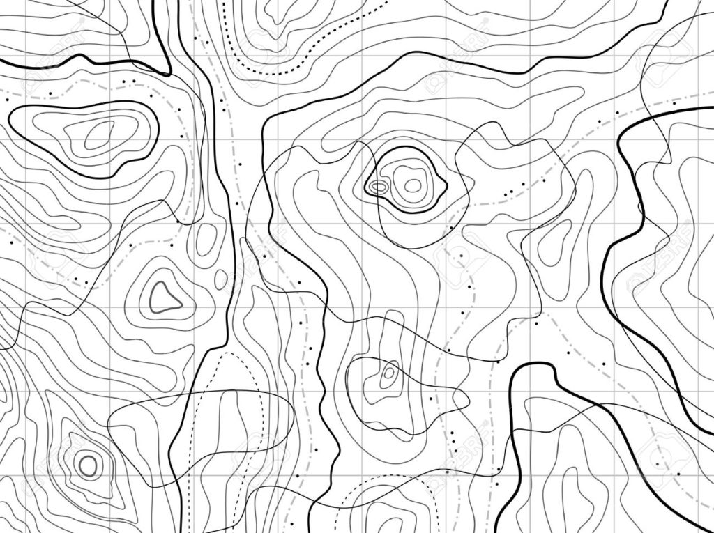
Near Real-Time Topography using photogrammetry
We live in an era where accessing real-time topographic data is faster, cheaper, and more efficient than ever before. Gone are the days of relying solely on planes, helicopters, or expensive satellite data. With drones, robotics, and AI-driven GIS analysis, photogrammetry is transforming decision-making across industries.Our glider

The Science of Photogrammetry: Turning Images into Data
Photogrammetry, the method of using photographs to extract ground measurements, has existed since the dawn of modern photography. But today, we combine it with drones, robotics, and AI processing to create highly accurate 3D models in near real-time.
By leveraging partnerships with industry leaders like Pix4D and DroneDeploy, we process and georeference imagery instantly, making geographic data more accessible than ever

Turning Data Into Actionable Insights
Imagine identifying which trees in an orchard are struggling using infrared imagery layered with 3D mapping. Or analyzing the impact of natural disasters using geospatial imaging. Our mapping solutions integrate layers of critical data to provide enhanced insights for better decision-making
- 🌳 Precision Agriculture: Detect tree health, monitor irrigation, and optimize yields.
- 🏚 Disaster Management: Map disaster zones for relief planning.
- 📈 Urban Development: Integrate 3D maps with zoning and infrastructure planning.
- 🦅 Wildlife & Environmental Research: Track migration patterns and habitat changes.
Geographic Intelligence, Led by Experience
With a degree in Geography and extensive GIS expertise, Christopher leads our mapping projects with unmatched precision. Using drones, robotic ‘probes,’ and advanced GIS layering techniques, he integrates field data with existing mapping systems for real-world applications.
“We collaborate with industry leaders like Pix4D and DroneDeploy to ensure top-tier mapping accuracy and near-instant data processing.”