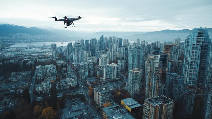
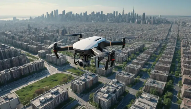
Whether using fixed-wing, multirotor, or airship drones, we capture stunning imagery tailored to your needs. Our drone photography services cover journalism, cinema, events, and environmental monitoring.
Key Features:
📷 HD to 4K Color Video – High-quality visuals for any project.
🎥 360° VR & 3D Stereo Imaging – Immersive perspectives.
🚁 Drone Flexibility – Capturing from any angle for maximum impact.
Seeing Beyond: Infrared & UV Imaging
With advanced sensors, we capture imagery beyond what the human eye can see. Infrared and UV imaging reveal critical insights for surveying, monitoring, and environmental analysis
☀️ UV Imaging – Reveal material flaws and sun exposure effects.
📊 Data Layering with GPS & Mapping – Combine geospatial and visual data.
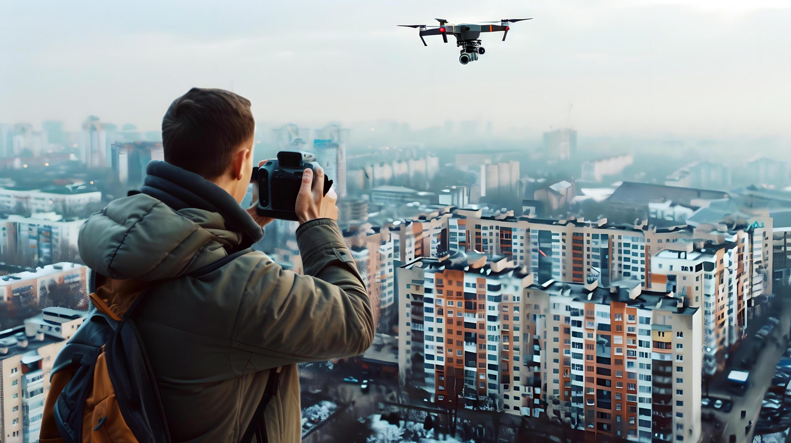
Certified Expertise You Can Trust
Led by Christopher Auger-Dominguez, our photography services are backed by professional experience in commercial photography, geospatial analysis, and FAA-certified drone operations
Christopher holds a Part 107 Remote Pilot Airman certification and a degree in Geography, ensuring every project is executed with precision and academic insight
From cinematic productions to environmental research, our work speaks for itself. Explore our portfolio to see how we bring projects to life through innovative imaging.