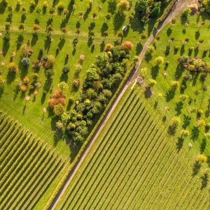
Whether by fixed wing, multirotor or airship drones, amongst a professional team, we can capture the shot you’re looking for. We capture visually impactful imagery for journalism, cinema, events, environmental monitoring and a much more. HD to 4K color video, 360 VR, 3D stereo – high resolution still and video imagery captured at any angle brings dramatic and unique perspective to any project.
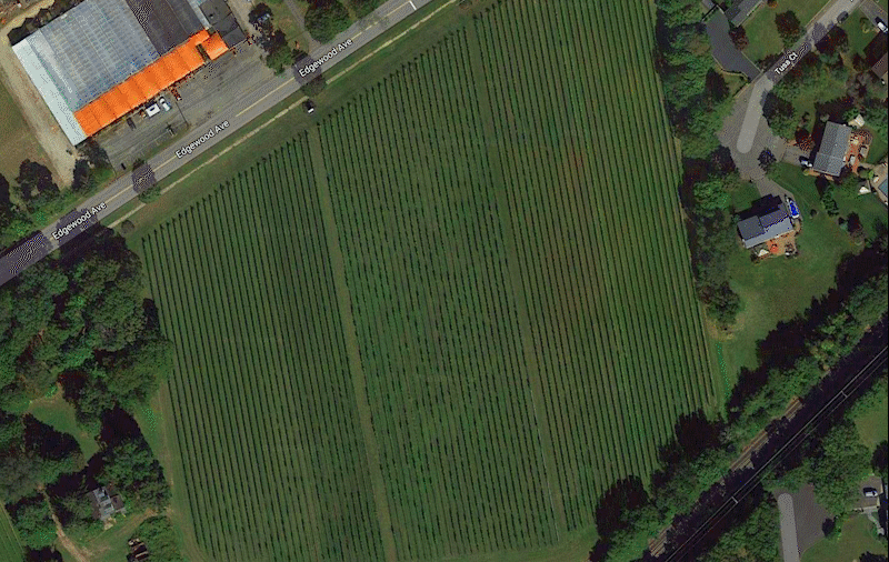
Beyond the visual spectrum, with enhanced sensors, we are able to view the invisible. Using off the shelf and advanced sensors, non-visible imagery like infrared and UV, reveal vital data for survey and monitoring. Additionally, layering the visual data with GPS location, mapping, infrared as well as interpreted non-spectral data paints a picture that may have been hidden otherwise.
Our pilots are Part 107 Remote Pilot Airman certified with hours of flight time. Additionally, our lead pilot, Christopher, has a commercial background in photography along with a degree in Geography, bringing valuable knowledge and experience in producing imagery as well as an academic background in georeferencing the data.
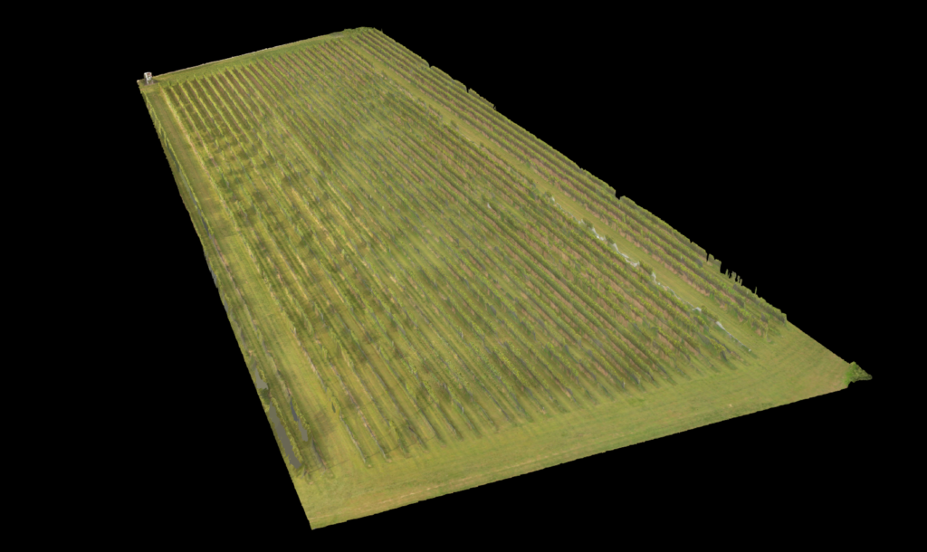
Multispectral overlays stitched from a mosaic of images reveal elevation and vegetation “health”